|
The Bourne Eau
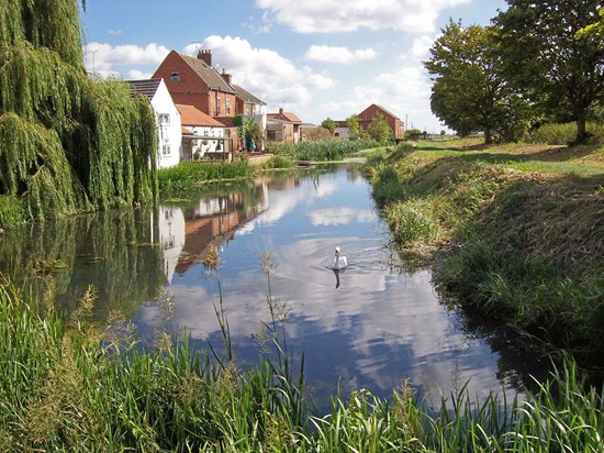
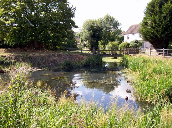
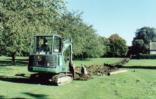
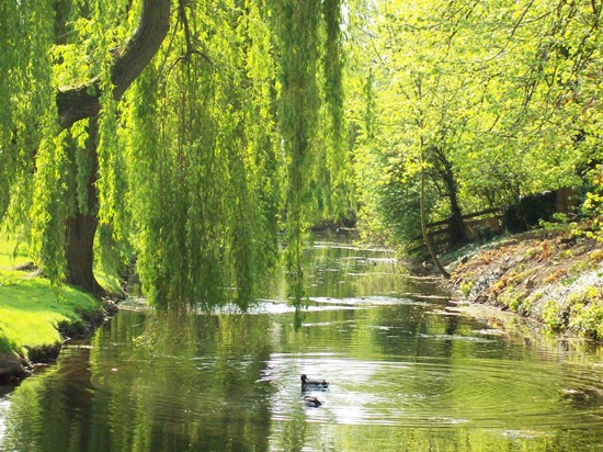
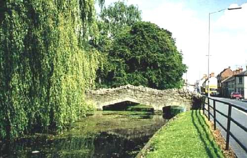
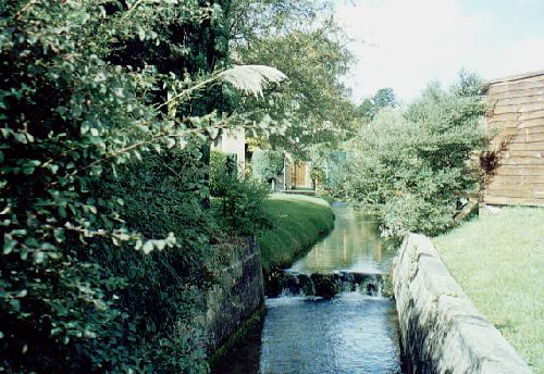
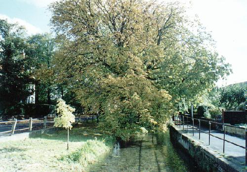
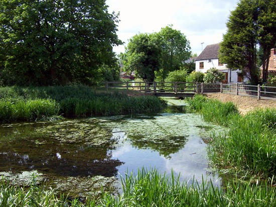
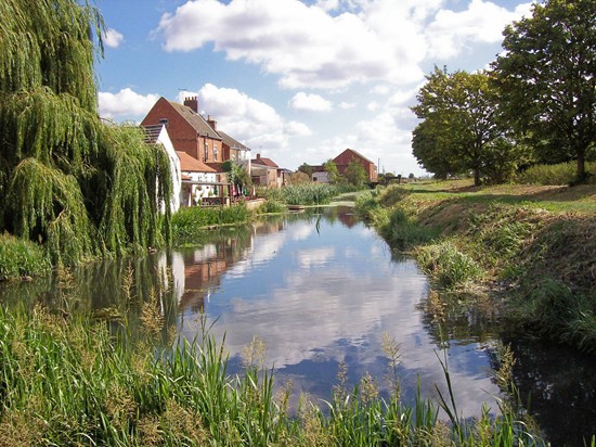
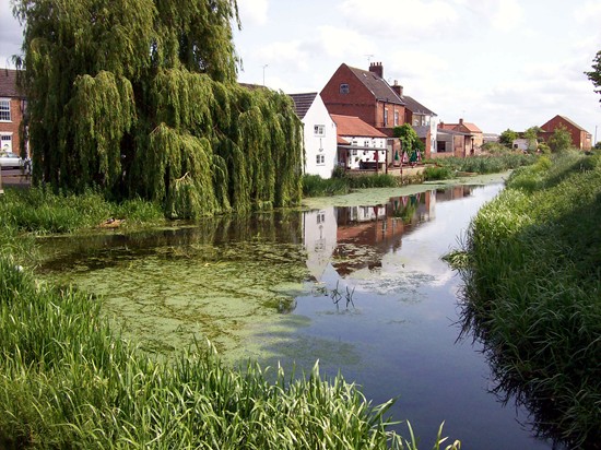
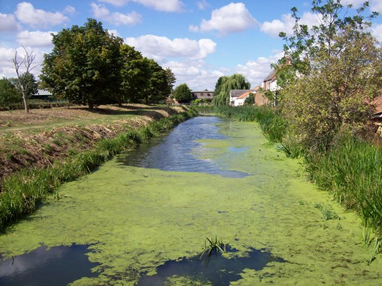
The Bourne Eau begins at St Peter's Pool where the water can be seen gushing out at its very source. Water from the pool feeds the Bourne Eau in two directions: one almost directly east towards Baldock's Mill and the second flowing north and then east, skirting the boundary of the Wellhead Gardens before flowing south towards Baldock's Mill where the waters combine before crossing under South Street and surfacing in Church Walk. From here, the river is piped underneath the vicarage gardens until it reaches Coggles Causeway where it runs behind the houses on the north side and on reaching the edge of the Abbey Lawn complex, it again goes underground and surfaces in Victoria Place. After crossing the road at the Queen’s Bridge, the Eau runs parallel with Eastgate for its entire length and is joined by the Car Dyke near the Anchor public house. The river then crosses underneath Cherryholt Road at Mays’ Sluice and out into the South Fen, joining the River Glen at Tongue End, its entire length being just under 3˝ miles. The Eau is fed continually by the springs at St Peter’s Pool but this water is also a valuable commercial commodity. Bores and pumping in the area therefore have lessened the power of these springs and since the centralisation of public water distribution and the establishment of Anglian Water in 1974, much of the supply is now piped to other areas to provide tap water for thousands of homes in South Lincolnshire and in Peterborough to the detriment of the town. As a result, water levels in the Bourne Eau are drastically lowered during dry spells and in time of drought, the river has been known to dry up completely, turning a local beauty spot into an eyesore and leaving its duck population which inhabits the river near the town centre marooned on the banks. One of the worst such spells occurred during August and September 1991 after three dry summers in which the area lost the equivalent of one year's rainfall and ground water levels were at their lowest ever. The river bed dried up completely and the entire stretch of the Eau along South Street was turned into a sea of mud that soon attracted litter and venture scouts were called in to clear up the mess, filling fifteen bags in two hours. Councillor Don Fisher complained: "The situation gets worse every year and the complaints get louder and louder. The people of this town are getting more and more frustrated at seeing their river disappear. There is an awful smell emanating from some parts of the river bed and this could constitute a health hazard." There were also fears that buildings in the area might suffer subsidence as a result of the parched subsoil. At that time, Anglian Water was extracting 4˝ million gallons of water a day from the local springs and the town council asked the authority to reduce its output but their appeal fell on deaf ears. "We are dependent on the weather", said a spokesman. "For water to return to the Eau, we can only hope for a very wet winter." Water levels along the Eau continue to fall every summer although the acute situation of 1991 has not been repeated and the problem may now have been alleviated. During October 2001, construction engineers laid a nine-inch water main from St Peter's Pool to the pond section in front of the Wellhead Cottage, a distance of 200 yards.
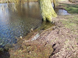
This involved digging up the meadows where Bourne Castle is reputed to have stood and an archaeologist was on hand to record any important finds. The pipeline was laid by the Black Sluice Internal Drainage Board, instructed by Bourne United Charities that administers the Wellhead Gardens and was laid two feet down, connecting with St Peter's Pool via a manhole containing a valve to regulate the flow of water into the pond during dry spells. The river at this point is a backwater without a flow and in times of low rainfall, the build up of silt and mud is exposed causing both an eyesore and a health hazard. In future, the pipeline will be activated rather like a big tap, creating whirlpools that will disperse the weeds and debris into the Bourne Eau and then downstream into the fens where it can be cleared periodically by mechanical diggers. One of the primary functions of the river was originally drainage in an area that was notorious for becoming waterlogged in times of heavy rainfall. The greatest flood ever remembered for this part of the county occurred in 1763 and it was reported that there was not a single dry acre in the entire area while the banks of both the Eau and the Glen were burst by the inundation. Two years later, the
Black Sluice Act of 1765 provided a comprehensive scheme to safeguard the
east and north-east of Bourne in which new sluices and cuts were built,
existing drains and becks scoured and maintained, new bridges constructed
over the two rivers and the banks strengthened. Tunnels of nine inches
square were laid on both sides of the two rivers to allow fresh water into
the land for cattle during dry weather and as there was some resistance to
land reclamation work at this time, the act also stipulated that the
penalty for causing any damage to the new installations would be a maximum
of seven years transportation. Despite this deterrent, there were several
riots in which the new works were destroyed during the night and in 1768,
troops were called to disperse rebellious fenmen but once implemented, the
act was successful and marked the turning point of fenland drainage in
this part of South Lincolnshire and by 1777, the entire area to the east
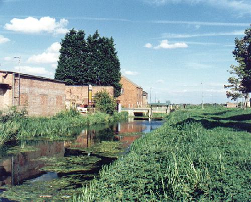
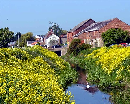
of Bourne had been reclaimed for modern farming. Warehouses along the Bourne Eau below Eastgate are also evidence that the river was navigable in past times and being used for transport, mainly for the movement of corn, from the period 1500-1640 when Bourne was one of 37 market towns in Lincolnshire. Like many such places in eastern England, it specialised in one particular commodity, in this case corn, and the main markets were invariably situated near navigable rivers. Successive legislation affecting the drainage of the fens and the subsequent reclamation of land was instrumental in improvements to all existing waterways and by the end of the 17th century, the new cut known as the South Forty Foot Drain had linked several of them to form what was described as “a navigable river from Bourne to Boston, a distance of 24 miles” and so Bourne therefore had a direct link with the North Sea for waterborne transport. By the 18th century, the Eau continued to be used for navigation although its function as a waterway was severely limited by its tendency to burst its banks and to become choked with mud. Its bed was higher than the level of the surrounding fen and its banks were made of peat and therefore extremely porous. Between 1730 and 1743, the river was cleared and the banks strengthened to enable boats navigate as far upstream as Bourne and a new warehouse was built for river trade by Thomas Ives of Spalding who handled mainly coal, timber and corn.
Later in the century, the newly formed Black Sluice Drainage Company
installed barriers at Tongue End to prevent excess water from the River
Glen from flooding back along the Eau and in 1781, an Act of Parliament
was passed to facilitate traffic on the river between Bourne and Tongue
End where the depth of water was to be 5 ft. with a width of 30 ft. while
tolls would be charged at the rate of 2s. 6d. per ton of goods carried. These improvements facilitated the movement of
commodities to the Midlands and Yorkshire and in return came coal that was
unloaded and distributed from a wharf in Eastgate. One of the most
important users of the river transport were T W Mays and Sons Ltd who
owned a fellmonger’s yard in Eastgate on the north bank and it was here
that skins were scraped and cleaned for tanning in the pits inside the
sheds. This was the head of the navigable Eau and until the coming of the
railway in 1860, leather and sheepskins had been shipped from here by
barge and boat. Wool was also brought in from several countries and
exports were sent out to many parts of the world. An ancient inn stands near what used to be the Eastgate quayside. This is the Anchor, one of the town's oldest hostelries, and it was once frequented by boatmen plying their trade on the Bourne Eau. Barges would have turned around here in the 19th century after bringing in coal supplies for the town and there was a portion of the riverside known as the coal yard or coal wharf on the north bank, just below the Fen Bridge. Other goods were also moved by boat from this location and by 1816, the Glen and Eau were carrying vessels with cargoes of up to 10 tons with wool and tanning leather being the chief articles of trade. But navigation on the river began to decline in the face of competition by improved rail and road transport and a directory of 1857 indicated the sporadic nature of the trade with the announcement: "Conveyance by water to Nottingham and Spalding, Thomas Knott's boats, from Eastgate occasionally." Today, the river is choked by algae in many places and rarely sees even a rowing boat. Apart from the short stretch in South Street, it is also little seen and therefore undervalued as an amenity.
REVISED JUNE 2015 See also
The Bourne Eau - a neglected river Water levels along the river
Maintaining the Bourne Eau The changing fortunes of the Bourne Eau
Go to: Main Index Villages Index |
|||||||||||||||||||||||||||||||||||||||
