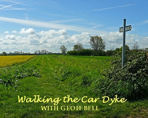
|
ONE OF OUR LEGACIES from the Roman occupation 2,000 years ago is the Car
Dyke, a watercourse of 75 miles in length running from Waterbeach in
Cambridgeshire then crossing the River Welland and entering Lincolnshire at
Deeping St James. From here, it skirts the western limits of the fens and joins
the River Witham at Torksey below Lincoln, and so extends for a distance of 56
miles through Lincolnshire.
Its origins have not been fully determined, either being built to carry the
invading Roman armies and their supplies northwards or for land drainage
purposes to increase agricultural yields, a use which continues to this day.
A large section of the Car Dyke can be found running to the east of Bourne in a
roughly north-south direction and most of it can be followed conveniently by
public footpaths or bridleways that run roughly parallel to the waterway all the
way to the villages of Thurlby in the south and Dyke in the north, thus giving
the village its name. Within Bourne itself, access to paths is possible from
Cherryholt Road, Willoughby Road, Eastgate, Bedehouse Bank, Blackthorn Way and Mill Drove.
The section that runs through the outskirts of the town is somewhat fragmented
but the short stretch from Eastgate to the Willoughby Road is particularly
attractive, with gardens of adjacent properties being made into waterside
features. Where the dyke runs through the open countryside there are extensive
views over the fens and the farming landscape.
The entire waterway has provided an excellent habitat for wildlife along its banks
and also in the adjoining fields, trees and hedges
and there is always much to see at any time of the year.
|


![]()