|
Tallington
The
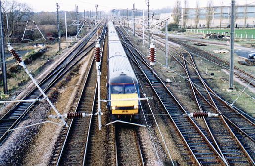
railway station at Tallington was closed in 1959 but the trains still roar past on the main east coast
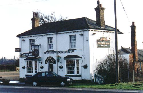
line between London and the north and the village is now best known for its notorious level crossing on the A16 trunk road. The railway line is one of the busiest in Europe and therefore the gates are frequently closed to allow trains through and traffic builds up on the main road as a result. The public house on the Market Deeping side of the crossing is called The Whistle Stop, a recently acquired name to reflect its railway surroundings, although it has been much better known in previous years as the Kesteven Arms, because Tallington was once part of the old Lincolnshire county sub-division of Kesteven. In the days before the introduction of our stringent drink-driving laws, it was a common occurrence for drivers held up at the crossing during opening time to leave their cars and pop in for a quick one and be back at the wheel by the time the gates opened, having been alerted by the sound of the passing train.
With so many inter-city express trains and other rolling stock passing in either direction at frequent intervals, the footbridge over the track at Tallington is a popular place for train spotters and photographers who take advantage of the footbridge over the track for action pictures.
Disused gravel workings south west of Bourne have been reclaimed for recreational purposes and the Tallington Lakes Leisure Park is the result. The area comprises a number of lakes, some left to nature while others are used for a variety of water sports to international standard, and all attract flocks of birds and other wildlife.
Go to: Main Index Villages Index |
|||||||||


