|
The Queen's Bridge
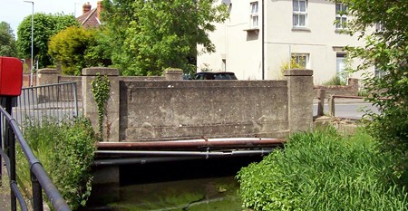
The bridge over
the Bourne Eau as it runs through Eastgate is known as the Queen's Bridge,
a name suggesting that its erection during the 19th century marked an
important occasion connected with the sovereign, most probably Queen
Victoria.
But as records show that
it existed in 1856 this rules out her Golden and Diamond Jubilees and so
it was
probably built as a commemoration of her accession or wedding in
1837-38 although the local newspapers did not report either on its
construction or naming on those occasions. However, this assumption would
appear to be correct because a public
notice which appeared in the Stamford Mercury on Friday 8th April 1842 referred to
land situated in Eastgate about to be sold at auction as being "opposite
the New Bridge".
There is also evidence that there has been
a ford or crossing at this point since the earliest times and when the
river was cleaned out in October 1898, the bed of the section beside the
bridge was found to be paved with stones, ancient and well laid and
believed to date from Roman times. The bank below the bridge was once a
slope to provide access for horses and carts, allowing the animals to
drink and the wagons to be washed.
Queen's Bridge became a central feature of the Eastgate district and can be seen in
many old photographs from earlier times. The White Bread Meadow auction
was traditionally held there annually as well as periodic auctions of
grazing rights on pasture land in the North and South Fen. It was also the centre for many
public occasions, outdoor meetings and other gatherings, while children
played along the nearby riverside and small boys netted newts and fished
for minnows.
In 1865, there were concerns about public health because the town's sewage
was emptied into the river at this point so creating a serious nuisance
which was expected to exacerbate with the introduction of more domestic
water closets around the town.
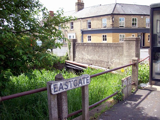
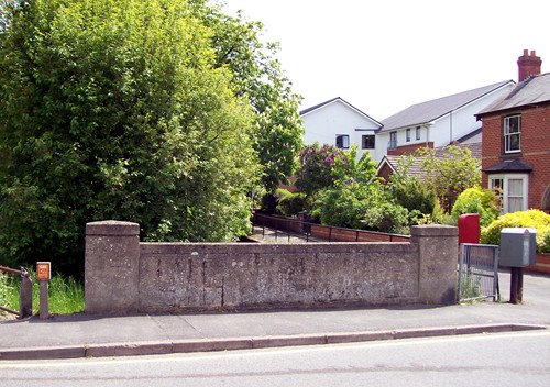
The original bridge was most likely made of wood but this was replaced
around 1880 with a structure of little artistic merit,
sturdily built of rough concrete and strong enough to withstand the weight
of horse-drawn traffic but within a few years, constant use by cars and
lorries had taken their toll and the bridge began to show signs of
deterioration. In addition, pipes from various public utilities that had
crossed the road at this point in recent years had been left exposed with
little attempt to disguise their presence.
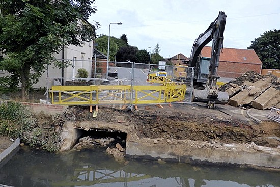
The bridge's official weight capacity of 7.5 tonnes was below the European
directive of a 40 tonne limit and so Lincolnshire County Council, the
highways authority, decided in 2013 that its days were numbered and plans
were drawn up to replace it during the summer months, work being completed
by the end of December.
|
PHOTO ALBUM |
|
 |
 |
 |
 |
|
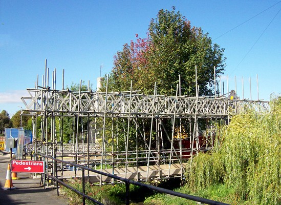
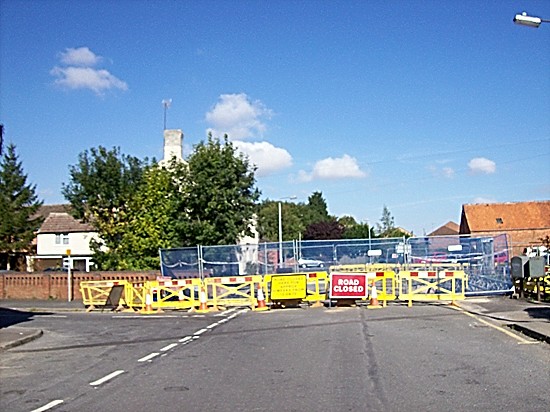
An astonishingly elaborate footbridge was
erected to allow pedestrians cross the Bourne Eau during the
rebuilding of the bridge (above) and in September 2013, the road was
completely closed for ten weeks (below). |
|
 |
|
 |
|
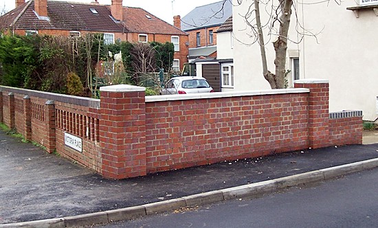
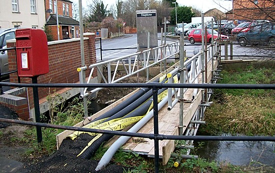
The east side of the near completed bridge (above)
and the west side (below) with the electricity, gas, water and
sewage pipes strung across the river on a scaffolding bridge
(bottom). |
 |
 |
 |
|
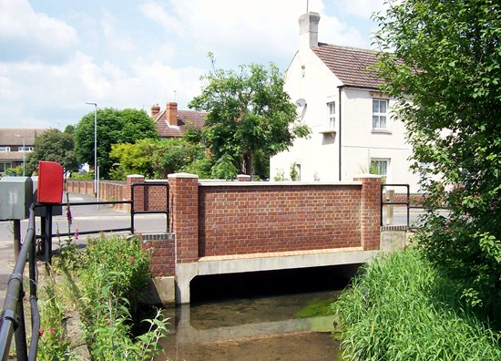
The bridge finally finished and all scaffolding
and other encumbrances removed, photographed in June 2014. |
|
THE QUEEN'S BRIDGE IN PAST TIMES |
|
 |
|
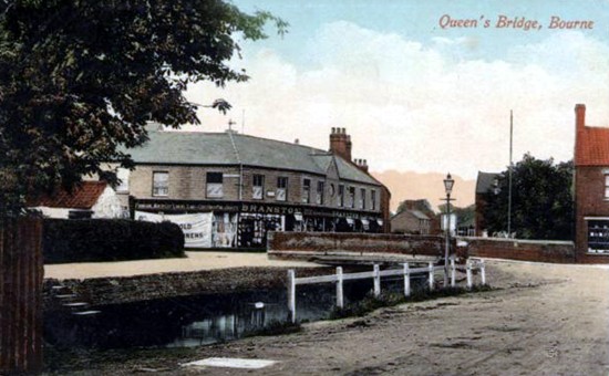
The picture above from circa 1900 shows the
slope into the Bourne Eau that provided access for horses and carts,
allowing the animals to drink and the wagons to be washed and
enabling the wooden wheels to swell within their iron rims. Next to
the bridge at No 6 Eastgate is Hinson's bread and sweet shop that
continued in business until the mid 1950s and next to that is the
United Reformed Church. The bottom picture postcard view shows the
bridge and Branston's new
shop premises from circa 1920.. |
|
 |
REVISED DECEMBER 2013
Return to
Eastgate

Go to:
Main Index Villages
Index
|


