|
South Street
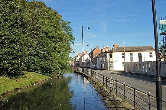
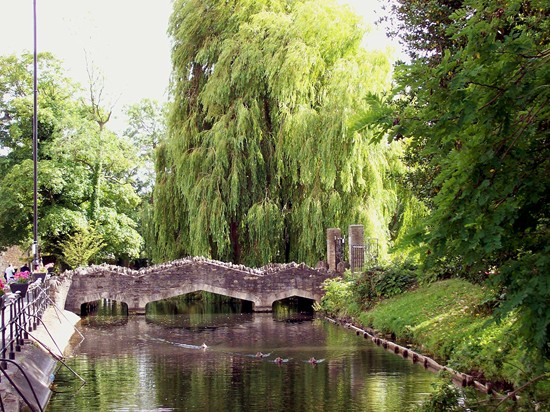
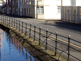
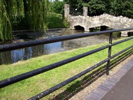
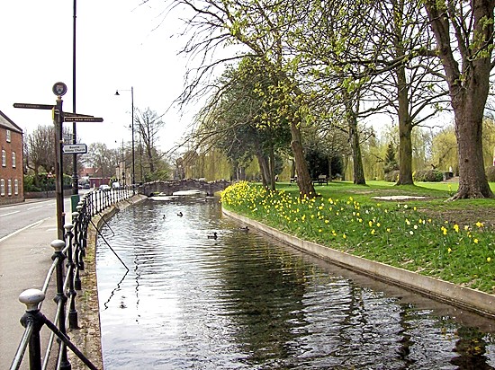
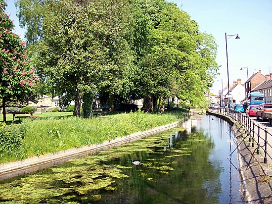
A short stretch of South Street is one of the most pleasant parts of the town because the footpath runs alongside the river that we know as the Bourne Eau. Dozens of mallard can be found here most days and often there are children feeding them with morsels of bread that bring them flapping and quacking along the water ready to snap up what is on offer. Unfortunately this scene is not always as pleasant as it looks because there are those who use this waterway as a dumping ground for their rubbish and fast food cartons and empty cans can often be found floating on the surface while cars, vans and lorries jam the road into town and the fumes at rush hour are overpowering and unhealthy. We therefore need two things to make this an idyllic place to be: a more disciplined approach to litter louts and a by-pass that would relieve this road of its daily traffic congestion. The iron palisade railings that can be seen
running between the river and the street were erected in the summer of 1869 at the expense of
the parish and are still in sound condition. But only that section between the
Darby and Joan Club to the stone bridge dates from that period and was purpose
built because the stretch towards Baldock's Mill is of a much later date and
more surprising provenance. This was erected circa 1980 and was
made from metal pipes used in the heating system for a row of greenhouses off West Street run by market gardener Dick Sellars but dismantled when he
retired and the materials salvaged for a variety of purposes, this being among
them, and close inspection will reveal where the new section begins while the
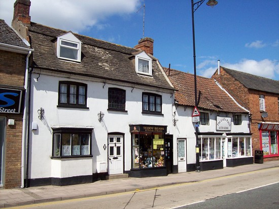
piping joints can also be seen at several points. The quaint house in South Street on the opposite side of the turning into the public library was built as the gatehouse to the Red Hall in the early part of the 17th century. This cubic building with lancet windows was originally finished in the same distinctive hand-made red bricks that were produced locally but the outside walls have been rendered and painted and turrets which adorned each of the four corners of the roof were removed during the early part of the 20th century. South Street is part of the A15 trunk road and those who drive into Bourne from the south see a pleasant aspect of the town, the Tudor almshouses with the Abbey Church behind and between them the entrance to Church Walk which is the perfect place for a leisurely stroll on a warm summer's evening. The trunk road follows the footpaths and cart tracks of yesteryear. It has been widened in places, the surfaces repeatedly reinforced and some sections rebuilt but there has never been a concerted effort to replace it with a new and straighter carriageway to connect north with south.
The difficulties we experience today were anticipated a century ago yet none of our local authorities have addressed the problem of building a new road that would bypass this town and those other communities along the route in the locality that have suffered since the arrival of the motor car. The sharp bend pictured above, showing an 18th century cottage on the left and Brook Lodge on the right, is one of two that create perilous conditions at this point, where traffic queues build up day after day, causing a constant hazard for both drivers and pedestrians, yet relief for this dangerous stretch of road is not even on the agenda of our county highways authority.
REVISED OCTOBER 2013
See also
South Street in Past Times South Street - then and now
Go to: Main Index Villages Index |
||||||||||||||||||||||||||||||||||||||||||||||||||

